
Southern Norway · Your travel guide
Kristiansand
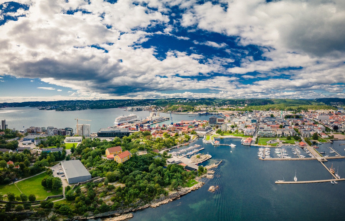
Kristiansand lies on Norway's south coast. The ferry from Hirtshals docks within walking distance of the centre, home to Posebyen and its wooden houses, Fiskebrygga and the Bystranda city beach.
What brings you to Kristiansand?
City and culture
Beaches and skerries
Day trips along the coast
Ferry and arrival
Dyreparken, Kunstsilo and Posebyen
Kristiansand on the map
Your stay
The centre, its districts and culture on foot
Kristiansand was founded in 1641, and the right-angled street grid from that time still shapes the centre, Kvadraturen. In the north of the grid lies Posebyen with its wooden houses, and in the south the brick-built town centre that went up after the city fire of 1892. Kristiansand Cathedral stands on Torvet. At the end of the Markens gate pedestrian street you reach Fiskebrygga on the Gravane canal.
From there it is not far to the Odderøya quay, where the former grain silo has shown art as Kunstsilo since 2024. Christiansholm Fortress stands on a skerry by the shore. If you want some greenery in between, it is only a few minutes' walk from Kvadraturen to Baneheia, a wooded area with a lit circular trail and a swimming spot. All the sights, with location and season, are under Sights.
Dyreparken, beaches and day trips
Dyreparken, Kristiansand's zoo and amusement park, lies about 12 km east of the centre on the E18 and can be reached by city bus. In the other direction the road leads to Møvik and the Kristiansand Cannon Museum, which only opens in season, as does Kristiansand Museum at Kongsgård. For a swim you can choose between the Bystranda city beach and the long sandy beach at Hamresanden east of the city; more under Beaches.
For day trips along the coast, head east on the E18 towards Lillesand, Grimstad and Arendal, or west on the E39 to Mandal and Lindesnes lighthouse. Inland lies the Setesdal valley. Routes and driving times are under Around Kristiansand, and the forecast and best time to visit under Weather in Kristiansand.
Getting there and where to stay
The Color Line and Fjord Line ferries from Hirtshals dock at the terminal on Havnegata, from where you can walk into the centre. The railway station and bus station are also within walking distance. Whether you arrive by train from Oslo, by air or by road, the options are set out under Getting there.
Compare hotels in the centre, near Dyreparken and by the water under Where to stay, and sites for tents and motorhomes under Camping. For a look at the harbour and the city before you set off, try the webcams in Kristiansand.