
Kvadraturen
Grid-plan centre between river and harbour
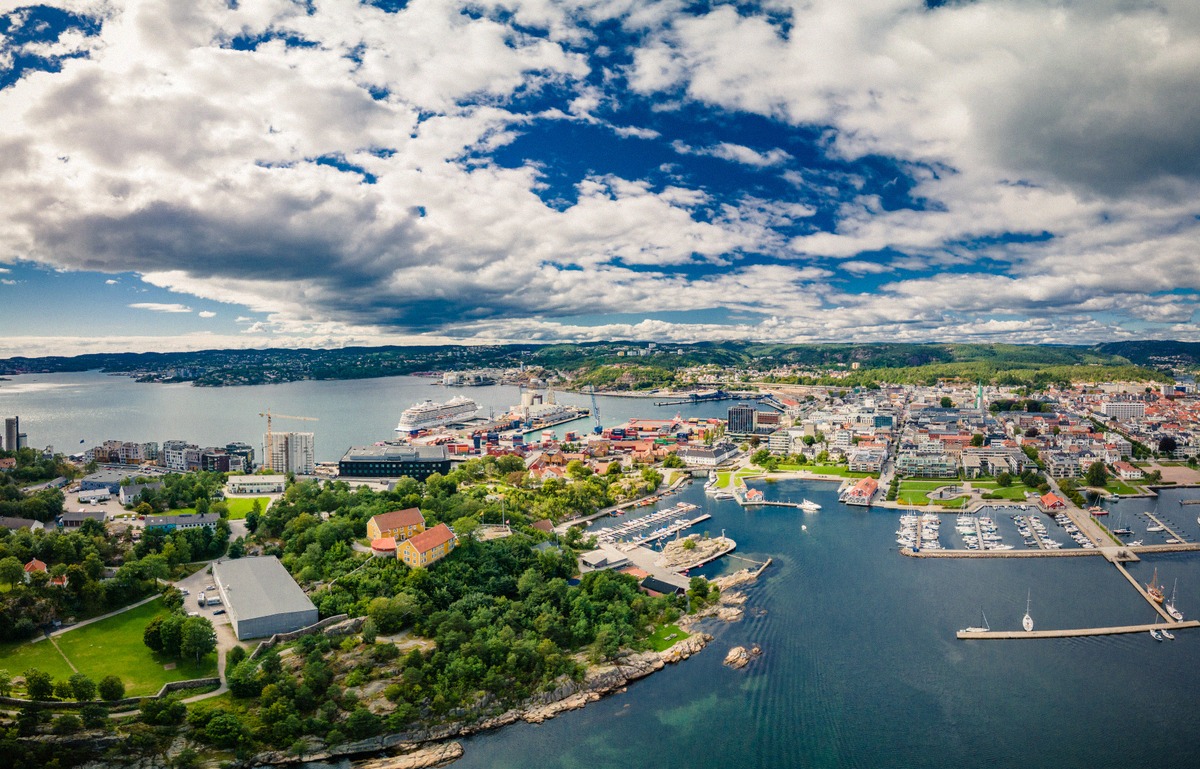
Christian IV had the town laid out on a Renaissance grid in 1641: seven streets parallel to the river and ten crossing them. Today Kvadraturen is Kristiansand's shopping district.
On this page
Layout
Kristiansand was founded by Christian IV in 1641 and planned as a grid from the start. Seven streets run parallel to the river, and ten cross them at right angles. This Renaissance grid is called Kvadraturen, and it is still the city's shopping district.
With its right-angled blocks, the centre is easy to find your way around. Sørlandets Kunstmuseum was also based here until 2021; its collection is now part of Kunstsilo.
Murbyen and Posebyen
Within the grid are two areas with quite different characters, divided by the street called Mølla. To the north is Posebyen, the district of wooden houses that survived the great fire of 1892.
South of Mølla lies Murbyen. The 1892 fire destroyed around a third of the town's wooden houses, and the rebuilding had to be done in brick or stone, which is why the houses here are masonry.
Markens gate, Torvet and the cathedral
Markens gate is the pedestrianised main street of the centre. At the end of the street, turn right to reach Fiskebrygga.
In the middle of Kvadraturen is the Torvet market square, home to Kristiansand Cathedral at Gyldenløves gate 9. The Gothic Revival church was consecrated in 1885 and is the fourth church on this spot. The first, Trefoldighetskirken, dated from 1645; its immediate predecessor burned down in the town fire of 1880.
Harbour, beaches and art nearby
From Kvadraturen you can reach these places:
- The ferry terminal at Havnegata 47 is on the edge of Kvadraturen. Everything about the terminal and arriving is on the Ferries page.
- Fiskebrygga sits on the Gravane canal, which is around 380 metres long and was dug in the second half of the 17th century.
- Kunstsilo stands south of the centre on the Odderøya quay, next to the Kilden theatre and concert hall.
- Bystranda, the central city beach, lies along the promenade on the eastern edge of the centre. More on the Beaches page.
- Christiansholm Fortress, a round tower fortress, once guarded the eastern harbour.
- In Baneheia you are in the woods just a few minutes' walk from Kvadraturen.
For an overview of everything to see, head to Sights.